| Map of the Mattole |  |

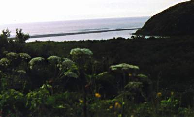
The Mattole river is located in the Southwest corner of Humboldt county. It is about 65 miles south of Eureka and 260 miles north of San Francisco. There is approximately 26 miles of fishable water from the mouth to the town of Honeydew. The Mattole is a remote, free flowing river with no dams and a wild population of steelhead. It is asked that if you fish this river, show respect for what it represents. This river is what all the coastal rivers were like 50 to 100 years ago. The fish of this river are wild with no hatchery fish being introduced. Catch and Release is asked for these fish. The difference between a wild and hatchery fish needs to be experienced to fully appreciate why these wild fish need our help to thrive. The Mattole is primarily a steelhead stream due to its late opening, Jan 1. The river remains open through March 31 downstream from Stansberry Creek and is open from Jan 1 through August 31 from Stansberry Creek upstream to Honeydew Creek. At present time, fishing is allowed only with artificial lures with barbless hooks in the whole river. Also the river is closed to fishing year round for a 200 yard radius of the mouth. WARNING: The Department of Fish & Game enforces the regulations on this river in earnest. So before you fish the Mattole check the regulation book and any supplements that pertain, so that you do not receive a fine or incarceration. |
| AREAS & ACCESS | LOCAL WEATHER | RIVER REPORTS | |
| Other Fishing Information | |||
| MAD | SMITH | REDWOOD CREEK | |
| VAN DUZEN | EEL | KLAMATH | |
| RUTH LAKE | HUMBOLDT BAY | COAST | |